
Shining Tor - Peak District Walk
Sunday 22nd April 2007
Although the Tors are a feature of this area that we have visited before we had never explored the other side of the Goyt Valley, so today we set out to put that right. There are plenty of good paths to follow, although once you are away from the reservoirs the landscape is quite desolate which probably explains why we saw so few people as we made our way to Burbage Edge.
Start: The Street car park (SK 0135 7564)
Route: The Street car park - Wildmoorstone Brook - Burbage Edge (TP) - Berry Clough - Shining Tor (CT) - Pym Chair - Foxlow Edge - The Street car park
Distance: 10.75 miles Ascent: 675 metres Time Taken: 5 hrs 40 mins
Weather: A bit of everything. Overcast to start, then blue sky, followed by rain and more blue sky.
Pub Visited: Wye Bridge Inn, Buxton Ale Drunk: Boddingtons Bitter

Looking across Errwood Reservoir to Wild Moor.

Errwood Reservoir with Fernilee Reservoir behind it, from the path behind Bunsal Cob.

Looking down Wildmoorstone Clough with the Tors in the background.

A first look at Burbage Edge, the high point in the centre.

Burbage Edge seen from the path above Tunnel Farm.

The Tors from Burbage Edge's summit.

Combs Moss from the same spot.

Looking across to the Roaches and Ramshaw Rocks.

The River Goyt at the foot of Berry Clough.

Walking through the forest at the start of the ascent to Shining Tor.

Shutlingsloe as we approach Shining Tor.

The rain started to get worse as we reached Shining Tor's summit trig.

Looking back towards Shining Tor from the newly laid path to Cats Tor.

Oldgate Nick in the foreground with Windgather Rocks behind.
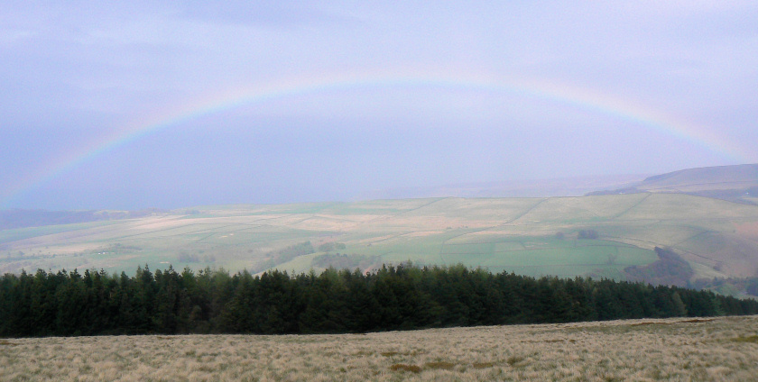
A rainbow across the valley as the rain stops and the sun comes out again.
All pictures copyright © Peak Walker 2006-2023